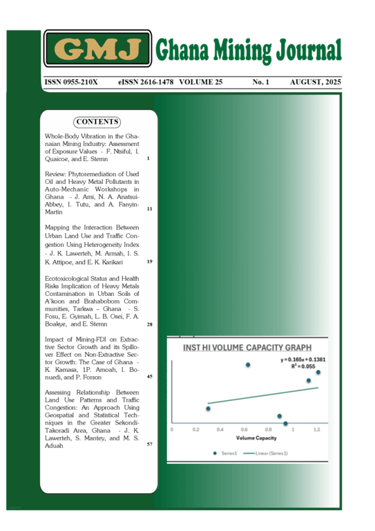
ASSESSING RELATIONSHIP BETWEEN LAND USE PATTERNS AND TRAFFIC CONGESTION: AN APPROACH USING GEOSPATIAL AND STATISTICAL TECHNIQUES IN THE GREATER SEKONDI-TAKORADI AREA, GHANA

Authors

Abstract

Traffic congestion has become a persistent problem in the Greater Sekondi-Takoradi Metropolis in the Western Region of Ghana. To analyse   the traffic congestion and related issues in the metropolis, Geographic Information Systems (GIS) and Earth Observation technology was used to assess the relationship between land use patterns and traffic congestion. Land use data, including residential, commercial, industrial, and mixed-use classes, were obtained and processed to create detailed land use maps. Traffic congestion data, such as traffic flow, speed, and volume, were observed on three different roads  and analysed. The results showed that  peak hour periods vary on different roads. Kwesimintim to Agyip experienced its peak between 8am-9am, Effiakuma to Tanokrom between 6am-7am, and Market Circle to Agyib between 7am-8am and their respective Peak Hour Factor (PHF) values 0.92, 0.95 and 0.83.  Commercial land use contributed the most to traffic congestion in the metropolis, with a coefficient of 0.866 while residential land use had the lowest congestion level, with coefficient of -0.159. The results of  this study can inform policymakers, urban planners and transportation engineers in making informed decisions for effective traffic managment, which could impact positively  on sustainable urban development in the Greater Sekondi-Takoradi Metropolis.

Author Biographies

Joel Kwabena Lawerteh, University of Mines and Technology

Joel Kwabena Lawerteh is a lecture at the Geomatic Engineering Department of the University of Mines and Technology (UMaT), Tarkwa-Ghana. He holds Bsc in Geomatic Engineering from Kwame Nkrumah University of Science and Technology, Kumasi, Ghana and MSc in Geomatic Engineering from the University of Mines and Technology (UMaT).  He is a member of GhIS and has over 15 years work experience in the field of Geomatics and the Built Evironment. His research interests include Land use and Travel Behaviour,  GIS and Remote Sensing in Land and Environmental Management.   

Isaac Selasi Kojo Attipoe

I. S. K Attipoe is a Graduate Teaching Assistant at the University of Mines and Technology, Tarkwa. He holds a BSc in Geomatic Engineering from UMaT, a certificate in Data Analytics from iiAfrica, and an online certification in Machine Learning in Engineering. He is a member of the Ghana Institution of Surveyors (GhIS), the Ghana Institution of Engineering (GhIE), and the Australasian Institute of Mining and Metallurgy (AusIMM). His research interest lies in the application of artificial intelligence in engine

Michael Soakodan Aduah, University of Mines and Technology

M. S. Aduah is an Assoc Prof at the Department of Geomatic Engineering of the University of Mines and Technology, Tarkwa, Ghana. He holds BSc in Geodetic Engineering from the Kwame Nkrumah University of Science and Technology (KNUST), a double MSc degree in Geoinformation Science and Earth Observation from University of Lund (Sweden) and ITC (The Netherlands) and a PhD in Hydrology from the University of KwaZulu Natal (UKZN), South Africa. He is a Professional Member of the Ghana Institution of Surveyors and a member of the International Association of Hydrological Science (IAHS). His research interests include the development of tools and techniques in Geoinformation Science and Earth Observation for modelling the environment, land use change analyses and modelling, surface water hydrology and assessment of global change impacts.


Downloads

Published

2025-10-15